Skip navigation links
Sanford Natural Area, Location Map


 Access  - Open from dawn until dusk
 Location

 - Sanford Natural Area Location Map

 - Northeast part of campus. South of the Red Cedar River, north of Shaw Ln. and the residence halls (Van Hoosen, Owen, McDonel, and Holmes) between Bogue St. and Hagadorn Rd.

 - Surrounded by chain link fence except for the northern border which backs up to the Red Cedar River

 - 5 Entrance Points - map - west to east

 > Entrance 1: ZigZag & Gated, 42.727590, -84.471600

 > Entrance 2: ZigZag42.726964, -84.466917

 > Entrance 3: ZigZag42.726874, -84.466244

 > Entrance 4: ZigZag42.727076, -84.462918

 > Entrance 5: ZigZag & Gated42.727163, -84.46261

 Parking

 - Sanford Natural Area Location Map

 - Public Parking is limited with the closest parking at Parking Ramp 1 or Parking Ramp 3

 - Faculty/Staff Parking is available at the near by residence halls Monday through Friday, 7:00am - 6:00pm.

 Features

 - 34 acres

 - Floodplain forest

 - Sugar maple-beech forest with heavy dominance in the overstory and understory from sugar maple

 - Located on north campus, providing walkable access for faculty, staff, students, and the public

 - Bordering the Red Cedar River, providing river bank and floodplain habitat

 - Has well developed trails

 Publications & Reports

 - Alexopoulos, C. J., & Butler, E. E. (1949). Conidia-like structures in Plectania coccinea. Mycologia, 41(2), 180-182.

 - Beaman, J.H. 1970. A botanical inventory of Sanford Natural Area. I. The Environment. The Michigan Botanist 9:116-139.

 - Beaman, J.H. 1970. A botanical inventory of Sanford Natural Area. II. Checklist of vascular plants. The Michigan Botanist 9:147-164.

 - Fogl, J. G. (1982). Ecology of Melanistic Gray Squirrels (Sciurus Carolinensis) and Fox Squirrels (S. Niger) in an Urban Area (Michigan) (Doctoral dissertation, Michigan State University).

 - Inventory, M. N. F. (2014). Ecological Assessment of the Grand River Avenue Bus Rapid Transit Corridor.

 - Michel Jr, F. C., Reddy, C. A., & Forney, L. J. (1993). Yard waste composting: Studies using different mixes of leaves and grass in a laboratory scale system. Compost Science & Utilization, 1(3), 85-96.

 - Michigan State University. Agricultural Experiment Station. (1918). Quarterly Bulletin (Vol. 1).

 - Morra, K., Mohr, C., Wolski, B., & Reh-Gingerich, A. (2014). Soil Pollution From Recycling Centers: Case Study Analysis from the Campus of Michigan State University. Inquiries Journal, 6(03).

 - Pielou, W. P. (1957). A Life-History Study of the Tufted Titmouse, Parus Bicolor, Linnaeus. Michigan State University.

 - Velbel, M. A., Mcguire, J. T., & Madden, A. S. (2007). Scanning electron microscopy of garnet from southern Michigan soils: Etching rates and inheritance of pre-glacial and pre-pedogenic grain-surface textures. Developments in Sedimentology, 58, 413-432.

 - Walline, E. 1940. Management plan for River Woodlot. Manuscript, Michigan State University Forestry Department. 24 pp.

 - Westveld, R.H. 1931. Management plan for River Woodlot. Manuscript, Michigan State University Forestry Department. 17 pp.

 - Wilcox, A.T. 1949. Recreation management in the Sanford Woodlot. Manuscript, Michigan State University Forestry Department. 2 pp.

 - Witter, S. G., Kline-Robach, R., Long, D. T., Bartholic, J., & Poston, F. (2001). MSU-Water: A new way of addressing water quality and quantity challenges. Journal of Contemporary Water Research and Education, 119(1), 7.

 - Young, D. K., & Pollock, D. (1991). Description of the mature larva of Pedilus flabellatus (Coleoptera: Pyrochroidae: Pedilinae), with phylogenetic implications of the discovery. Canadian Journal of Zoology, 69(8), 2234-2238.


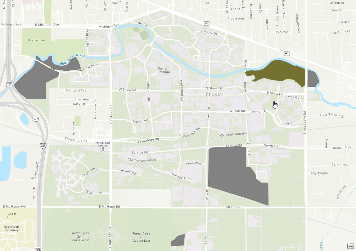
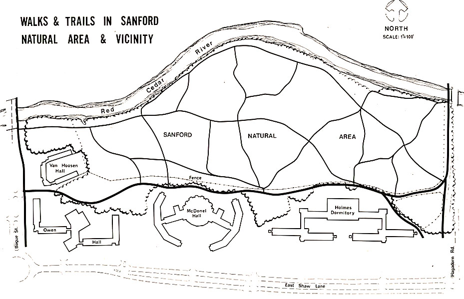
The Sanford Natural Area is part of the original 676.57 acres of forested land purchased in 1855 from A.R. Burr of Lansing for the original Michigan Agricultural College campus. It was originally called North Woodlot, Woodlot No. 1 and later River Woodlot. In 1941 Professor Paul A. Herbert, Head of the Forestry Department, renamed it Sanford Woodlot, after Frank Hobart Sanford (1880-1938; B.S., 1904; M.S., 1913; Forestry faculty, 1906-1920; the second full-time forester appointed by the college). An interpretive trail map was published by the Division of Campus Park & Planning in 1974.