Wieland Wetland was once a one acre American elm stand. Up until the late 1970s, the ground layer was also dominated by quack grass, reed canary grass, and other persistent native herbaceous species.
Wieland Wetland was once a one acre American elm stand. Up until the late 1970s, the ground layer was also dominated by quack grass, reed canary grass, and other persistent native herbaceous species.
Access
Open from dawn until dusk.
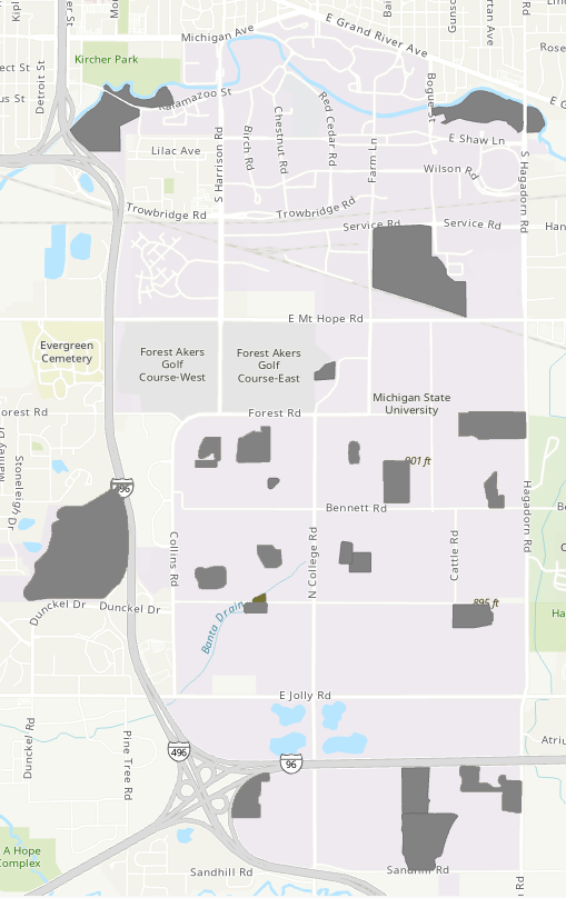
Location
Parking
Features
Publications & Reports