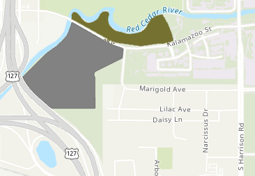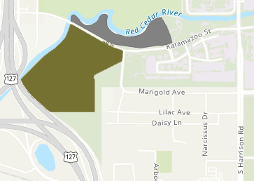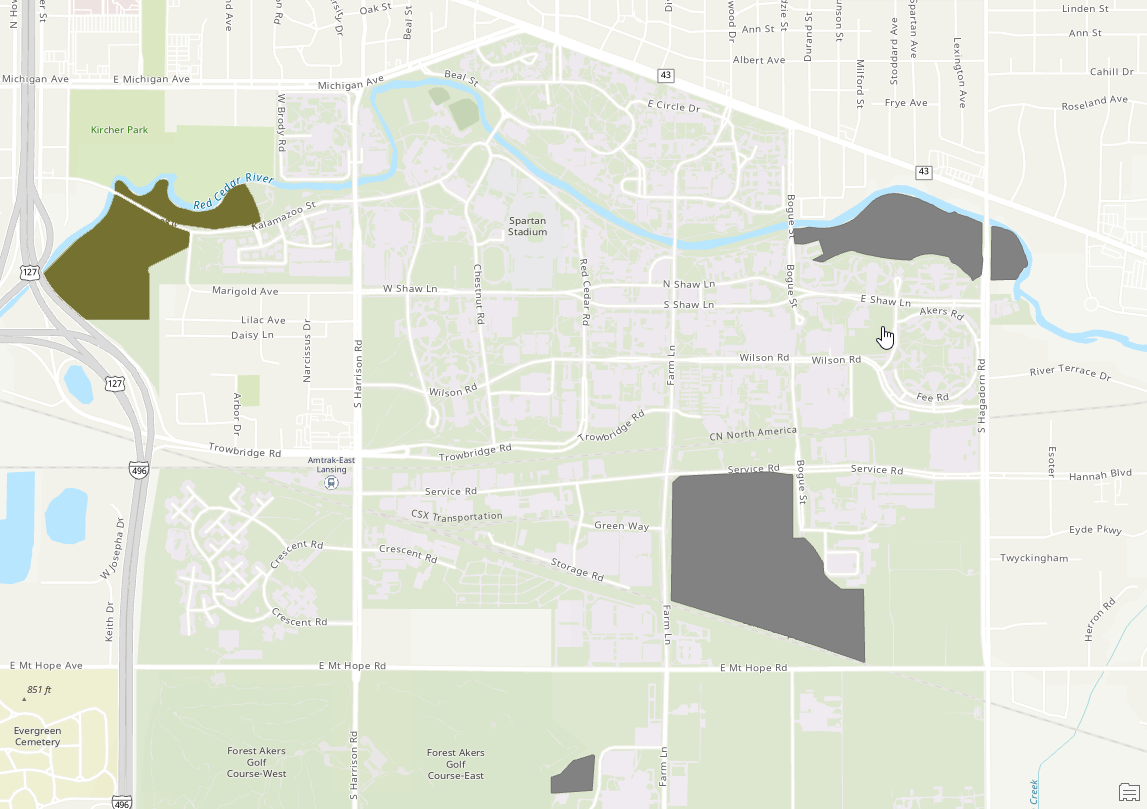
Red Cedar Natural Area
The Red Cedar Natural Area is a 76 acre native floodplain forest divided by Kalamazoo Street. There are 13.94 acres to the north of Kalamazoo St. and 32.82 acres to the south of Kalamazoo St. A total of 46.7 acres is wooded. Past disturbances include the construction of the Kalamazoo Street bridge in 1934, the stream channelization in 1940, high tension power lines installed in 1954 and the sewer installed in 1965. In 1994, the CNAC recommend inclusion of the 3+ acre old campus tree nursery as part of the Red Cedar Natural Area.