Access
Open from dawn until dusk.
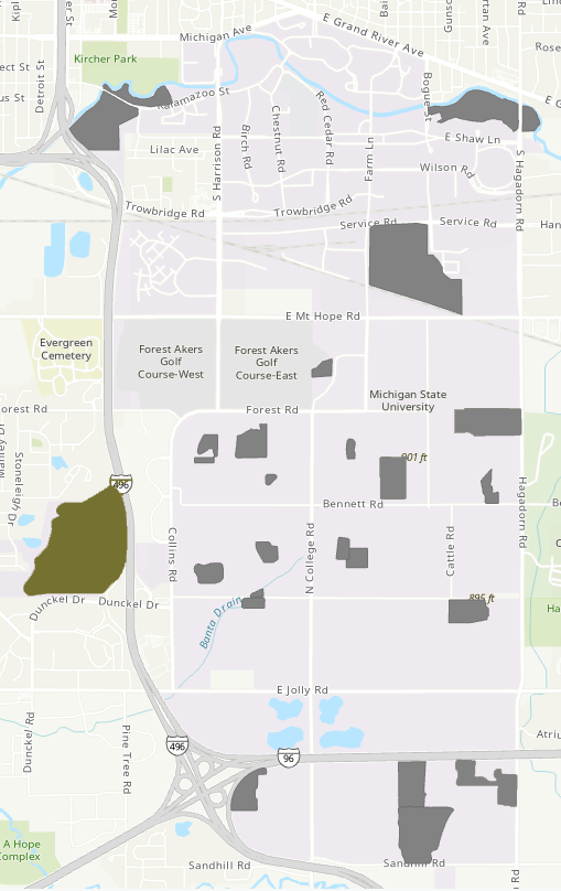
Location
- Bear Lake Natural Area Location Map
- South Campus, farms area, southwest of the intersection of I96 and Dunkel Dr.
- Accessibility is limited due to the natural growth of vegetation and the terrain.
- Entrance Points - map
- Access is easiest from the northwest corner of the natural area, off the bike path.
Parking
- Street parking available at the corner of Leawood Dr. and Wabash Rd.
Features
- Area: 161 acres
- Remnant northern Michigan forest/bog community.
- Contains six recognized vegetational zones: The Chamaedaphne-Decodon mat, mature bog forest remnants, high shrub zone, Betula-Larix zone, marginal fosse, and north fence clearing.
- 168 total vascular plant species have been identified in the bog (Hunter 1975).
Publications & Reports
Hunter, P.A. 1975. A botanical inventory of Bear Lake Bog. M.S. Thesis, Department of Botany and Plant Pathology, Michigan State University, East Lansing.
Parmelee, George. W. 1947. Postglacial forest succession in the Lansing area of Michigan: A study of pollen spectra. M.S. Thesis, Michigan State University, East Lansing.
Ward, S. (2024). Bear Lake Natural Area Bio-inventory Report. Michigan State University.